Geotab Inc, an IoT developer from Ontario, Canada is developing telematics solutions for BAS Antarctic missions. In the future, they will be used to better monitor equipment and personnel in challenging environments.
Table of Contents: What awaits you in this article
Geotab: IoT fleet management for all
The Canadian specialist in Internet-connected commercial vehicles offers its customers monitoring capabilities integrated into transport vehicles, allowing them to automate the analysis of their data. This is possible for any business and its fleet, regardless of size. Geotab’s web-based solutions connect IoT devices to a proprietary software platform.
BAS: Research for environmental protection
The British Antarctic Survey (BAS) is a British institute dedicated to exploring the Arctic Circle. Its research aims to provide deeper insights into the ecosystem, which can have a direct impact on the global environment. In particular, the consequences for climate change have been the focus of investigations for some time. Results obtained here can directly inform global environmental regulations. The institute has 400 employees, five research bases, five aircraft, and one ship.
Antarctic communications: difficult and costly
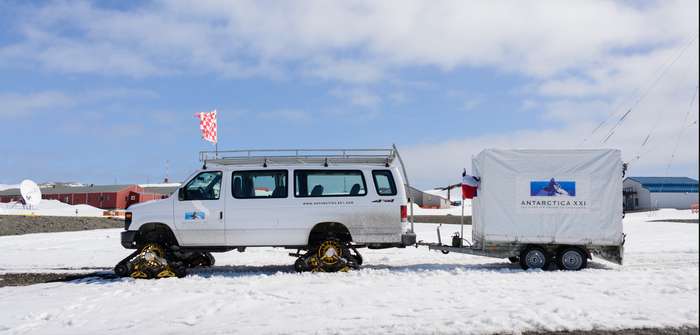
In a nearly pristine area like Antarctica, maintaining communications with the outside world always means challenges. Research groups are usually on the move for weeks at a time in environments that are not only hundreds of kilometers away from the nearest human settlements. These locations also often lack any conventional communications infrastructure.
In order to be able to report back to clients and research stations at regular and usually fixed intervals, or in the event of an emergency, expedition teams have had to make some effort. For example, drilling jigs often had to be set up before the high-frequency radios could be used. Given the sub-zero temperatures, wind conditions and rough terrain on site, this was a complex undertaking.
Always on screen with Geotab telematics
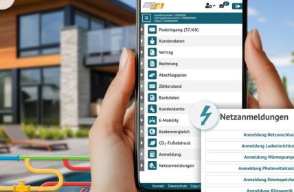
Geotab Telematics now helps to solve this problem in several ways. First, it connects the BAS fleet with monitoring technology. Second, the technology is delivered in a package that can withstand the extreme conditions at its destination. The company is drawing on its MyGeoTab fleet management software, which has already been successfully tested in millions of vehicles. This involves the delivery of a modified G09 telematics plug-in device in a mounting box specially adapted for demanding environments.
Real-time monitoring and maintenance management
Geotab combines its fleet management solution with BAS’ mapping systems. This enables accurate monitoring of all vehicles in use from snowmobiles, tractors and even ships. Everything from travel times to stops and precise locations can be recorded in real time. In addition, these measurements can be extended to other areas as well. In addition to machine maintenance in the form of function diagnostics, fuel checks and route planning, safety and health aspects of personnel can also be included in the analyses.


